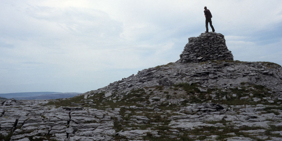
The Burren cairns
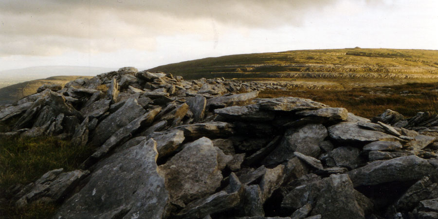
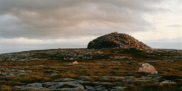
There are several large mounds of stone, probably neolithic cairns on the tops of the mountains, or their north-facing shelves, which bear all the hallmarks of chambered cairns like those at Cong, Knockma and Ballinrobe. These cairns are found on Sliabhcarran, Turlough Mountain and Blackhead on the northern edge of the Burren. The large cairn on Turlough Mountain is surrounded by a collection of some 160 round hut foundations, quite similar to those at Carrowkeel, Knocknashee and Knocknarea in Sligo.
Few of the Burren hilltop cairns have been excavated, but the sites on Turlough Mountain have been surveyed and studied by archaeologist Dr. Stefan Bergh of NUIG, and several hut sites were excavated in 2016.
The Burren cairns are not counted in the inventories of Irish chambered cairns, since their internal structures are not known. However, they appear to form an east-west pattern, a feature of the large and more famous collections of passage mounds.
As most of them are on the north ends of the mountain, thay may have a similar relationship with Knockma as the Carrowkeel cairns do with Knocknarea.
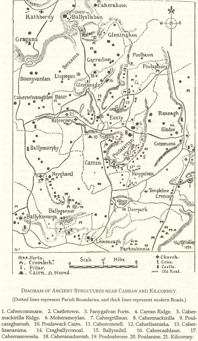
The Poulawack Cairn was excavated in the summer of 1934 by the Harvard Archaeological Mission. Poulawack has been dated to about 3,300 BC, around the same age as Newgrange. The site was reused several times, and it's period of use stretches to about 1,500 BC. It may have been used in later medieval times as an inauguration mound.