The
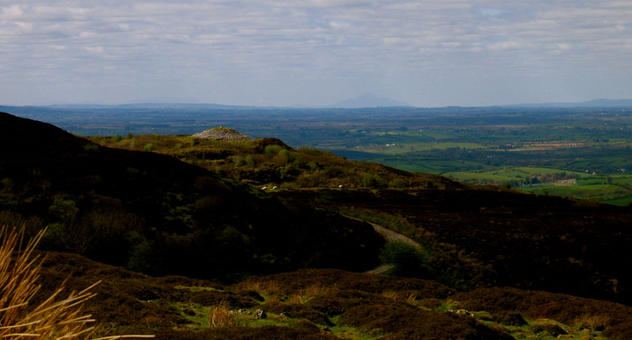
view to the west from the top of Carrowkeel. The pyramid shaped mountain on the horizon is Croagh Patrick. |
|
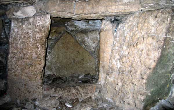 Pointed stone known as the Croagh Patrick stone within the large right-hand recess of Cairn K at Carrowkeel. Moving northwards the next mountain is Nephin in north Mayo, one of the twelve chief Mountains of ancient Ireland. Nephin has a large cairn on the summit. Next up is Kesh Corran, which covers a good portion of the horizon. On the highest piont, within a huge neolithic enclosure, is a large unopened cairn called Finn MacCumhail's hunting mound or the Pinnacle. On the north end of Kesh is Cairnanweelan where two caves and a megalithic building are found.
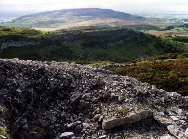
The view to the west from Cairn F at Carrowkeel, looking across Cairn B, Treanmacmurtagh, Treanmore and Kesh Corran. Continuing clockwise we come to Muckelty hill and Knocknashee, two sites with neolithic and later monuments on their summits. Muckelty has a stone cairn within a large round enclosure that encircles the hilltop. Muckelty is a double hill, like Knocknarea and Cairns Hill. Knocknashee is a massive site, a neolithic village of 30 huts is located on the flat summit between two cairns. The higher of the two cairns has a chamber or cist with some probable iron age scratches. The whole hill was fortified during the bronze age. A fascinating site.
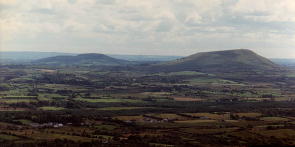
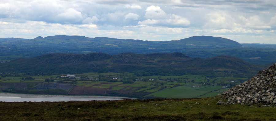
Muckelty Hill and Knocknashee, a pair of hills with neolithic sites on their summits. Moving on we come to the Ox Mountains, where the sites at Doomore and Croughan
Arrows point to Knocknarea from Cairn H and Sliabh Da Ean from Cairn G, part of a Sligo VEC project about the neolithic landscape of County Sligo.
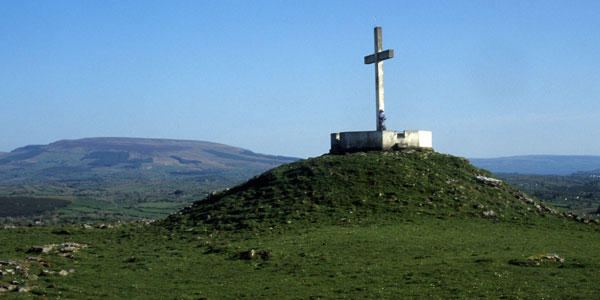
A modern Christian cross on the neolithic cairn at the summit of Sheemor, the Great Fairy Hill in Co. Leitrim.
Southeast |
The view from Queen Maeve's Cairn to the Bricklieve mountains. From the left are Doonaveeragh, Carrowkeel, the Bricklieve Gap and Kesh Corran with its many caves. Cairn K at Carrowkeel is 26 km from Maeve's cairn, while Kesh Cairn is 23 km away. |