Doonaveeragh mountain
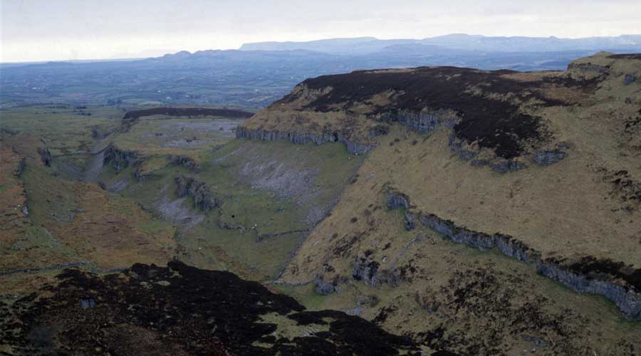
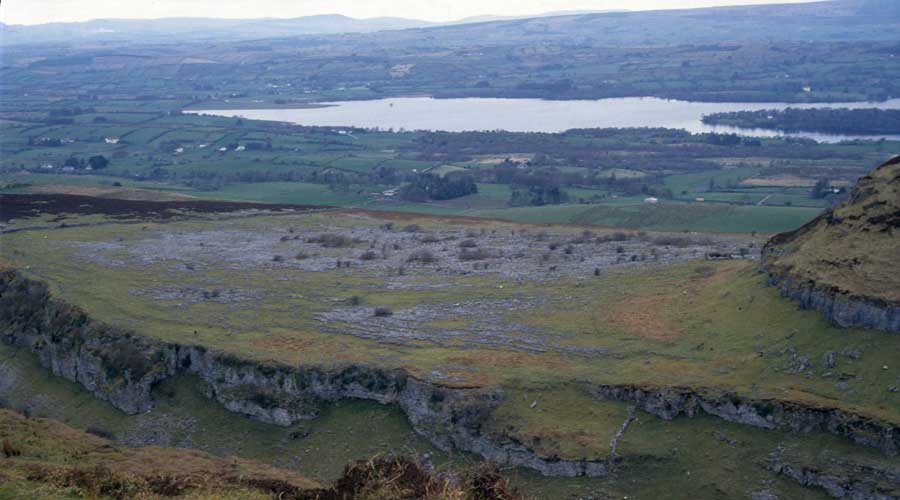
The largest and oldest known prehistoric village in Ireland can be found on the flat plateau of Doonaveeragh Mountain on the east side of Carrowkeel and overlooking Lough Arrow in County Sligo. There are amazing views of the mountain and village from the edge of the escarpment to the east of Cairns G and H at Carrowkeel.
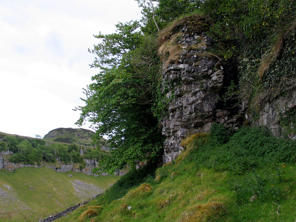
The fantastic shape of Doonaveeragh Mountain was created by the melting glaciers at the end of the ice age, carving a spectacular rift valley seperating Doonaveeragh from Carrowkeel Mountain. The mountain is shaped like a gigantic ship with the highest points occupied by Cairn O and Cairn P and the village sited on the flat limestone plateau or deck to the north of the cairns. The whole mountain points towards Knocknarea and Carrowmore in the distance.
The valley between Doonaveeragh and Carrowkeel Mountain is the strip of land which gives the collection of megaliths it's name: Carrowkeel - The Narrow Quarter, and is probably a relatively modern name. Many Irish townland names date to the 16th century, when the country was being mapped for taxation purposes, and quarters and thirds are common names. The valley is also called the Devil's Gap or Bite - especially when viewed from the Yellow Pass on the old road over the Curliew Mountains.
The plateau has been known as the stone age village since Macalister surveyed it in 1911 and counted some 40 circles, the foundations of hut sites. However, without excavation there was no proof that the circles dated to the neolithic - the jagged fissured surface seems too rough to have been an ideal dwelling site, and there is no water.
It is recorded that the army of Red Hugh O'Donnell camped here many times during the Nine Years War (1592 - 1601), and it was suggested that perhaps the circles were remains from that time.
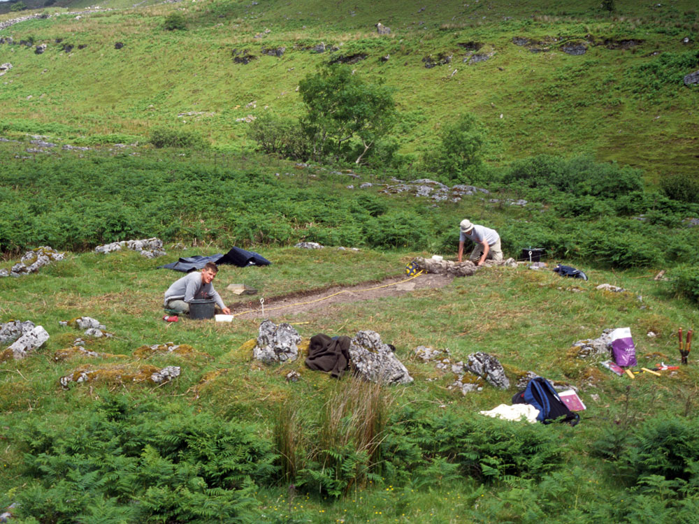
A 2003 excavation and survey by archaeologist Stefan Bergh has placed the village in the late neolithic, with the discovery of a flint knife. The survey recorded 180 circles of various sizes, and several other enclosures on the plateau. A series of bronze age dates indicate that the site continued to be used in later times.
The largest circles tend to be on the east side of the plateau, nearest to Lough Arrow. There are several springs just below the eastern edge of the Mullaghafarna plateau. A little further down the hill to the east, is the shattered remains of a large court type monument, crossed by a modern stone wall.