Beltany Tops
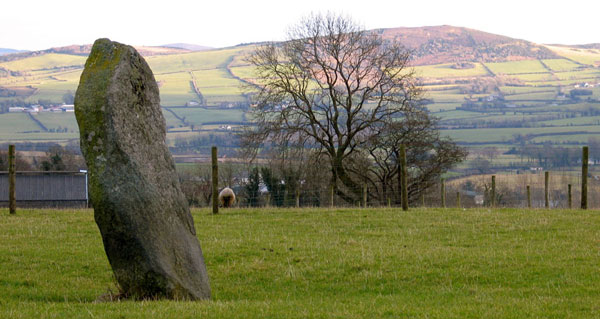
Beltany Tops is a large stone circle situated on a hill in the townland of Tops by the River Deel in east Donegal, just south of the town of Raphoe. The circle is on the crown of the hill and has fabulous views of the surrounding countryside. Beltany overlooks the Croghaun and Kilmonaster megalithic monuments to the south, and is an outlying part of that complex.
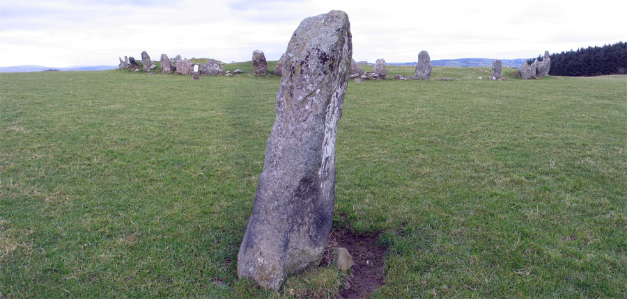
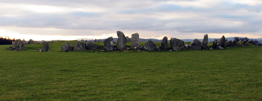
The circle is about 45 meters in diameter, and is made of 64 continously set stones, almost like kerbstones. It is thought that there may have been as many as 80 stones in the complete circle. The circle stones range from quite small to some 2.7 meters in height. Many of the stones have chunks of quartz growing in them. Two axes, one of which was from Tievebulliagh, and a carved stone head, thought to date to the Iron Age, were found within the circle.
It has been suggested that Beltany is a ruined neolithic cairn, and that there may have been a chamber within the much disturbed interior. There is a wide and clear view to the other hills nearby with the remains of monuments, and the cairn on Croghaun Hill is clearly visible some 6 kilometers distant.
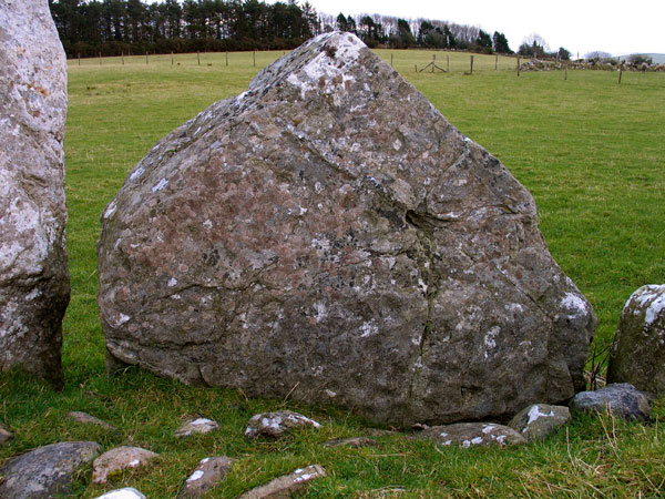
Two of the stones bear art - cupmarks on the inner face of a triangular stone and very faint ring and cup marks on the outer face of a large stone on the other side of the circle. This type of art is generally dated to the bronze age. The second largest stone has ring-and-cup marks on it's outer face, and another stone on the opposite side bears engravings on it's inner face.
The whole area has similarities with the landscape of the Boyne Valley in County Meath and the Coolrea peninsula in County Sligo.
There are three principle nodes in an east to west configuration: Carnowen (the River Cairn), likely the location of a destroyed monument to the west; Kilmonaster with its cluster of a dozen monuments at the center, and the imposing hill of Croghaun to the east. The complex is bounded to the south by the River Finn and to the north by the River Deel.