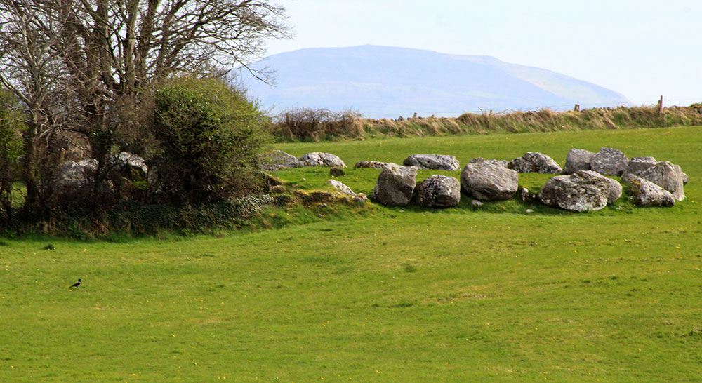
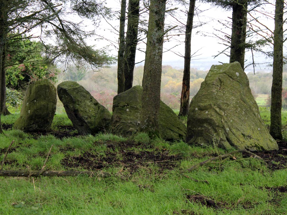
The ridge of Magheraboy viewed from the nun's graveyard at Merville in County Sligo.
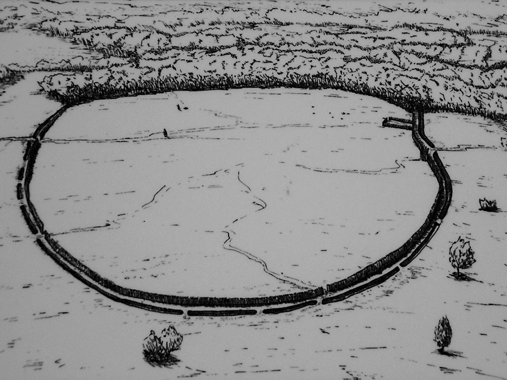
The Magheraboy causewayed enclosure.
The causewayed enclosure at Magheraboy was discovered during excavations in advance of roadworks on the new bypass around Sligo Town between 2001 and 2005. The monument, invisible before excavation, occupied about five acres on the eastern side of the ridge of Magheraboy, the fourth highest point on the Cuil Iorra peninsula.
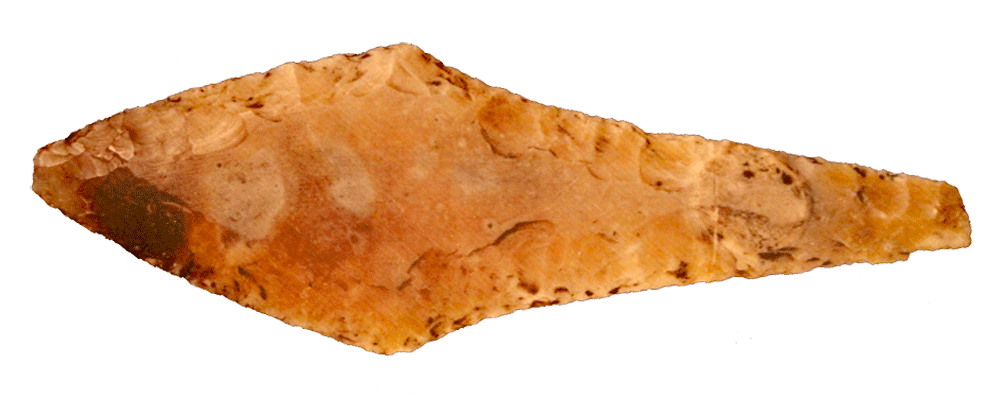
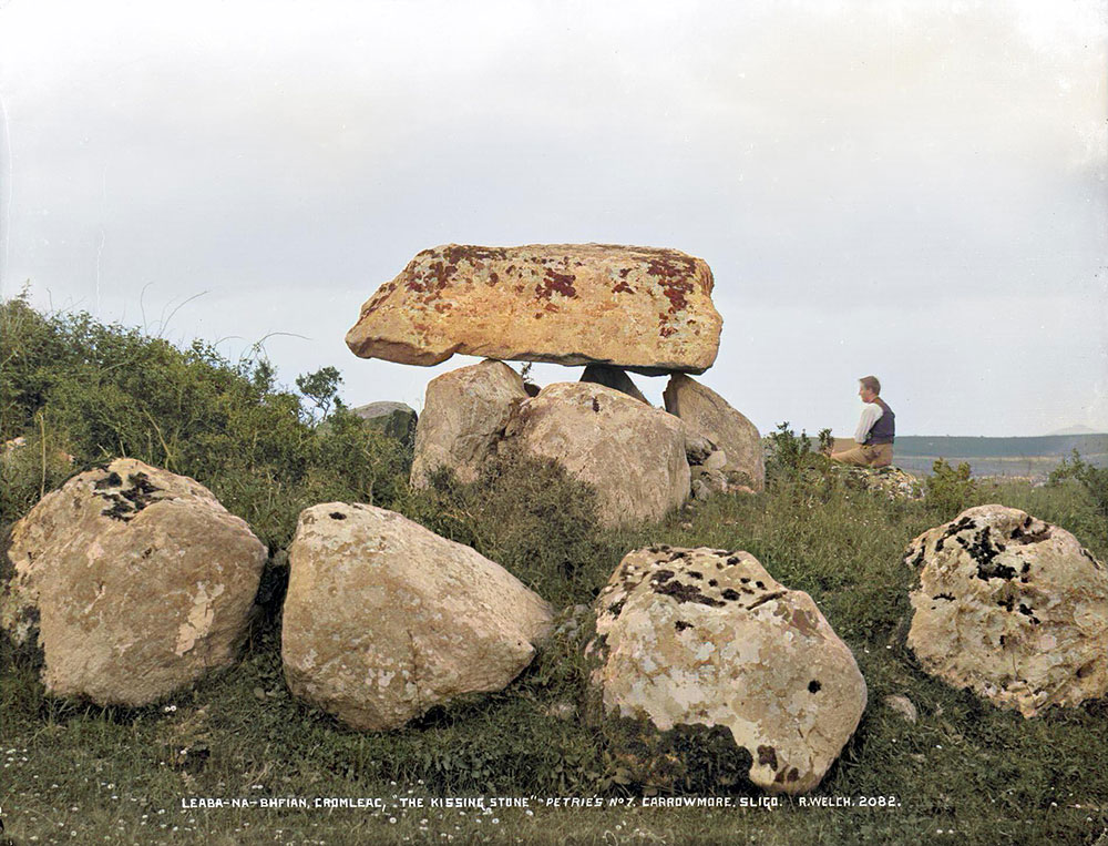
The flint spear head found in the chamber at Listoghil, the focal monument at Carrowmore in County Sligo.
The monument consisted of a substantial timber enclosure constructed with posts some 1.5 meters high. The palisaded enclosure has been dated to 4,150 BC, the dates coming from a piece of worked oak found during the dig. This extremely early date makes Magheraboy currently the oldest of the 75 known causewayed enclosures in both Ireland and England. There are a number of entrances into the enclosure with a possible main opening on the eastern side.
The Causewayed Enclosure at Magheraboy in County Sligo. Illustration by James Murphy.
About three meters out from the palisade, a segmented ditch was dug in stages, which seems to have been a symbolic or ritual act, as the ditch is not a defensive feature. The monument was dated using a piece of an oak plank found in the ditch. Offerings seem to have been placed in the bottom of the trenches, and the diggings back-filled within a short time of their construction.
Many shards of cardial ware were found in the ditches. Cardial ware is a type of fine pottery which became widespread on the continent around 4,000 BC, and the nearest examples to Magheraboy comes from the great court cairn at Creevykeel in north Sligo.
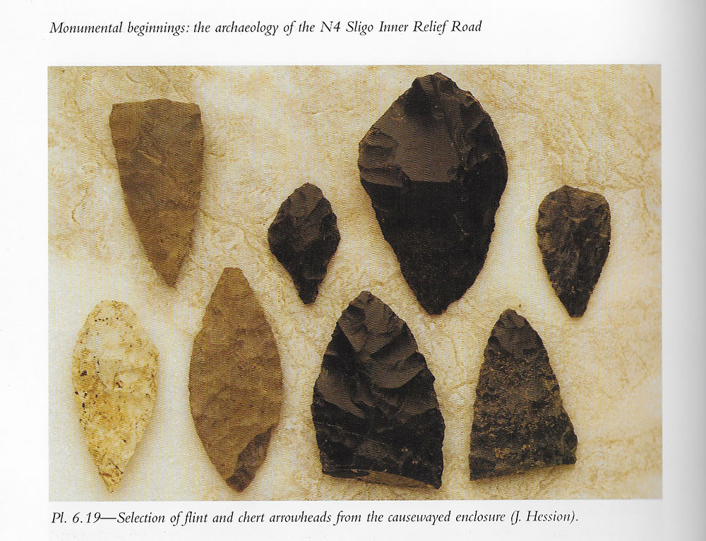
Flint and chert blades and arrows from Magheraboy.
Other interesting finds were arrow-heads of both imported flint and local chert. It seems chert was being quarried on the eastern summit of Knocknarea. Some of the flint originated in Antrim, close to the huge later causewayed enclosure at Donegore Hill.
Three neolithic axe heads were found, one the broken butt of a limestone example, which may have been sourced locally. The second was of mudstone, which was found complete placed within a ring of thirty pieces of white quartz crystals, surely a symbolic or ritual gesture. The third example was of porcellanite, a stone found in County Antrim. This axe had been deliberately broken before being placed in the ditch which was then back-filled.
The role of these monuments is poorly understood currently, though there are some good indications of their function. The Magheraboy causewayed enclosure may prove to be one of the more important monuments in Ireland. The monument may possibly be best viewed as the beach-head, where the neolithic farmers arrive in large numbers on the west coast of Ireland.
Causewayed enclosures are highly symbolic monuments, which seem to have been constructed for special communal rituals. It is possible that dispersed groups of neolithic farmers met at Magheraboy on a ritual or seasonal basis, possibly related to the construction of new monuments in the region. We know that the site had an early intensive period, after which the site went into decline for a time. The site became important again during the period of intense activity in Carrowmore, between 3,700 and 3,500 BC, the time when the great central monument of Listoghil was under construction.
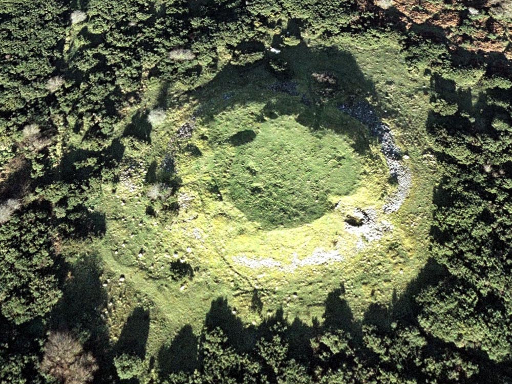
The West cairn on Carns Hill, image from Google Earth.
Sadly, the important monument of Magheraboy is not well known as it should be. During the excavations approximately one third of the monument was excavated, then destroyed by the new Sligo bypass. The remaining portion is not visible on the surface.
The ridge of Magheraboy viewed from monuments 56 and 57 at Carrowmore.