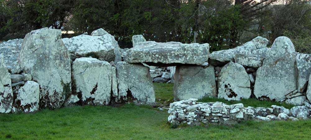
Creeveymore
Creeveymore is the first site listed in the Megalithic Survey of County Sligo. Nowadays the site is invisible under blackthorn bushes and briars. The megalith is probably the gallery of a court, but is pretty ruined. It is sited overlooking the Cliffoney river at what must have been the fording place on the ancient route from Sligo to Donegal, just at the north end of Cliffoney village. The monument is quite ruined, nine stones remaining of a gallery just over 8 meters long and 2 meters wide, oriented and opening to the northeast. The cairn is long gone for other building projects, and only a low mound of stone now surrounds the chamber.
The stones from the megalith were reused in early Christian times: there is a massive oval platform ringfort right beside the megalith. Several huge stones can be seen in the souterrain at the north end of the enclosure, and there is a stone rampart running around the top. There is also a hut foundation, probably dating to the same period, close to the ringfort overlooking the river and ford.
More stones were taken in the 1820's to build Cliffoney bridge, only about 60 meters from the monument. It is not far from here along the coast to the monuments at Wardhouse, Magheracar and Finner.
Megalithic Survey Report, 1960
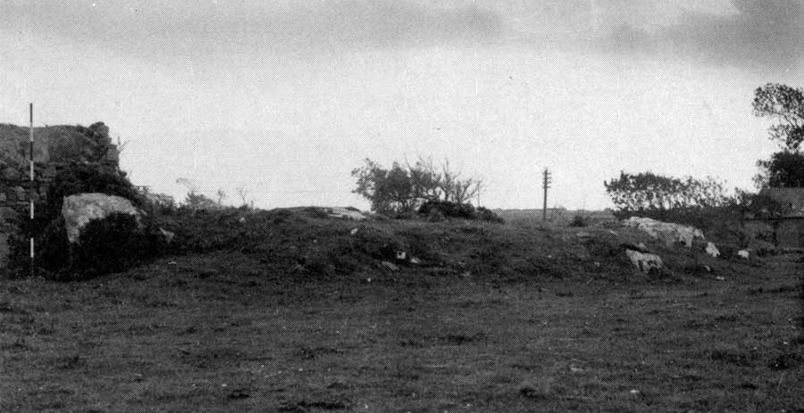
This monument, first shown on the 1912 edition of the OS 6-inch map, is situated on pasture land about 500 meters to the north-west of Cliffony cross-roads. Some 400 meters west from the site the land falls to flat ground and then rises to a bank of sand dunes along Trawalua Strand, 1.6 kilometers distant. The long strip of Classiebawn Wood lies to the north-west though elsewhere the land in the area is under pasture and meadow. A stream flows about 60 meters to the south of the site and skirts the south end of the Wood before reaching the sea.
The monument is very ruined and all that survives are the remains of a gallery incorporated in a narrow mound. The gallery, 8.20 meters long, is aligned roughly east to west and seems to have been about 2 meters in maximum width. The mound measures 9.50 meters by 5.50 meters and is up to 75 cm high.
The gallery is represented by nine orthostats. Two of these, at the east, look like jambs and mark an entrance 80 cm wide. That at the north measures 1.30 meters by 1.15 meters and the other 95 cm by 45 cm. Both are 1 meter high. Two large blocks, exposed on the north side of the gallery, protrude less than 25 cm above the mound. These are flat-topped stones with straight inner faces. That towards the east measures 1.45 meters by 90 cm and the other 95 cm by 60 cm. A small stone close to the west end of the former could be the tip of a further orthostat.
The opposite side of the gallery is represented by four stones. These vary from 85 cm to 1.30 meters in length and are from 25 cm to 35 cm thick. None protrude more than 40 cm above the mound. A kink in the alignment of these stones suggests the likelihood of a segmentation in the gallery about 3 meters from its west end. The end of the gallery is marked by a backstone which measures l.25 meters by 45 cm and is 50 cm high. The top edge of this stone slopes downwards to the West.
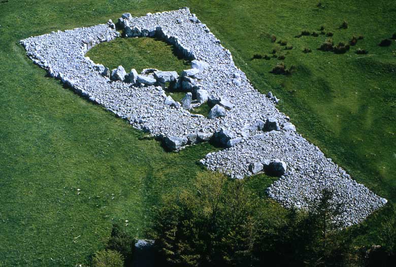
The structure is certainly the remains of a court-tomb gallery. The number of chambers cannot be determined but the length of the gallery together with the disposition of the orthostats suggests that three are probable.