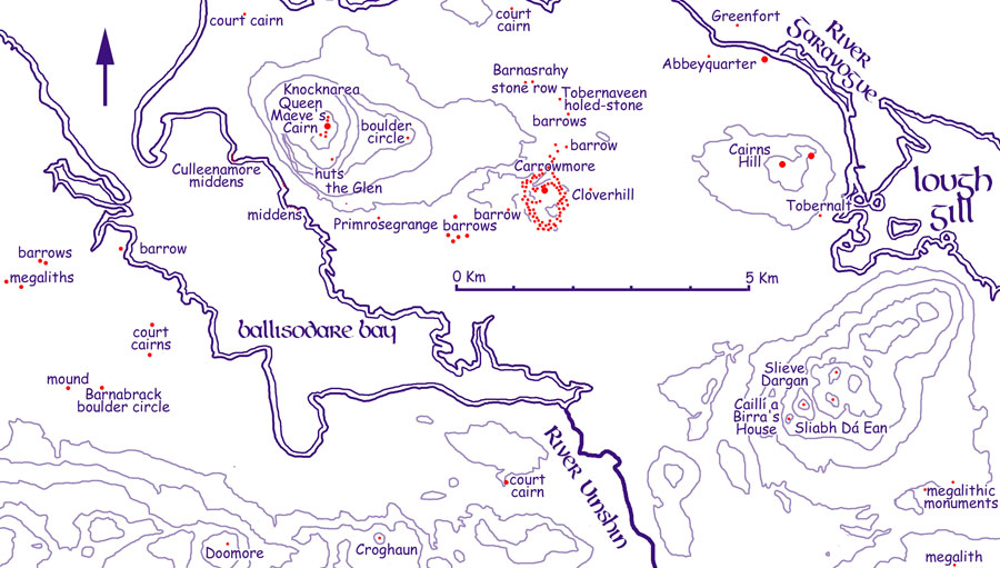
A map of the principal neolithic sites on the Cúil Iorra peninsula. Modern Sligo town is at the mouth of the Garavogue river. The river is named after the hag, witch or goddess named, Garavogue who's home is the megalithic chamber, Cailleach a Birra's House high in the Ballygawley mountains.
Coolera or Cúil Iorra: the Remote Angle
The Cuil Iorra peninsula is a strip of land on the coast of County Sligo, surrounded
by mountains and sea, which was settled by ancient people in very early times.
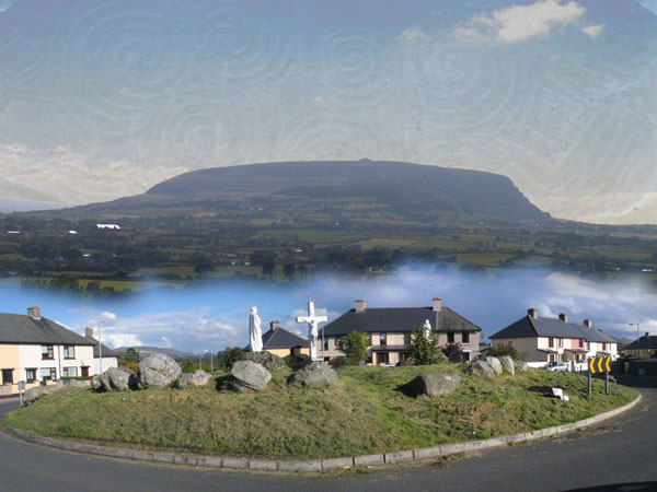
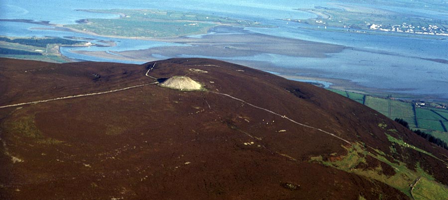
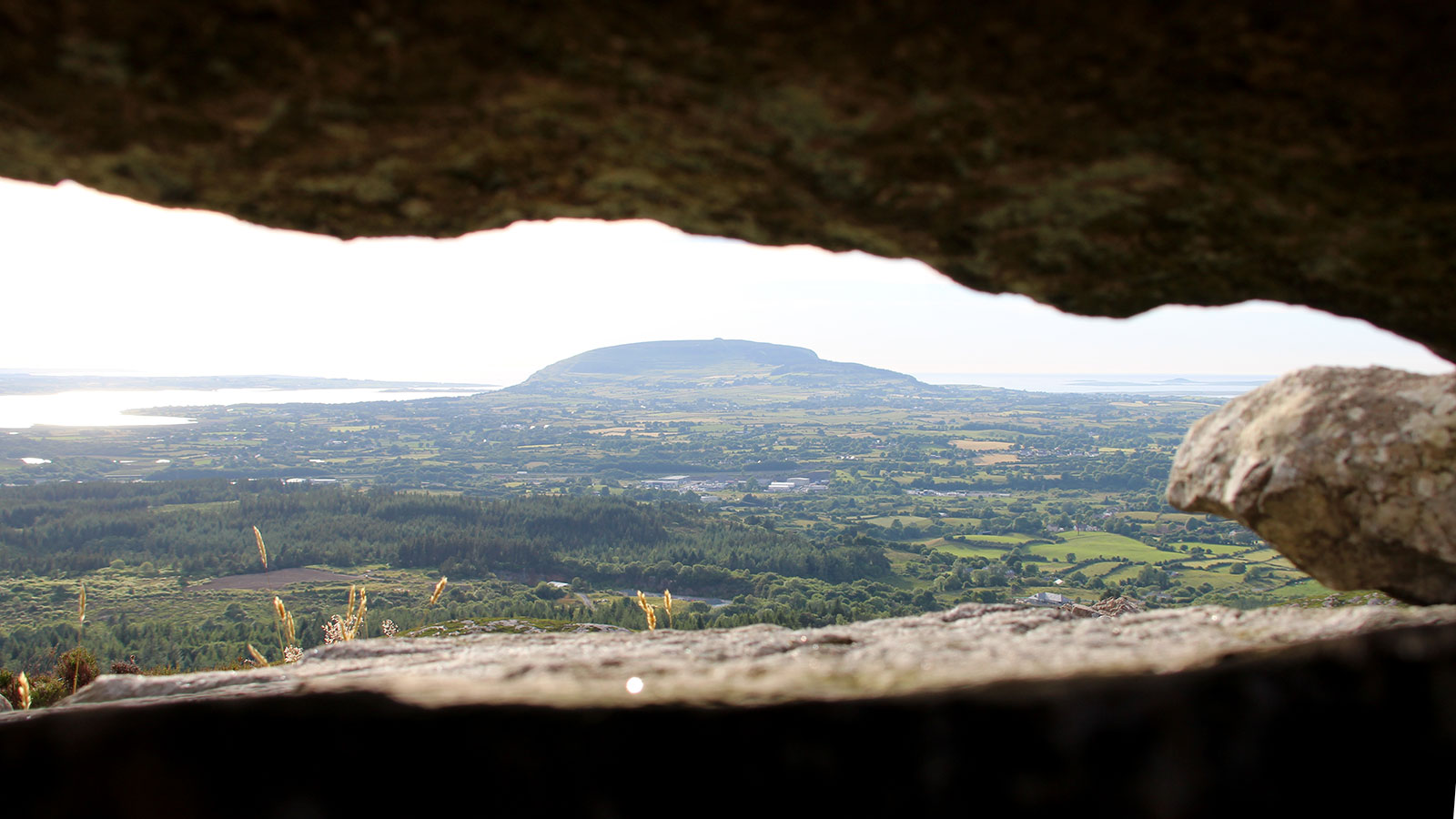
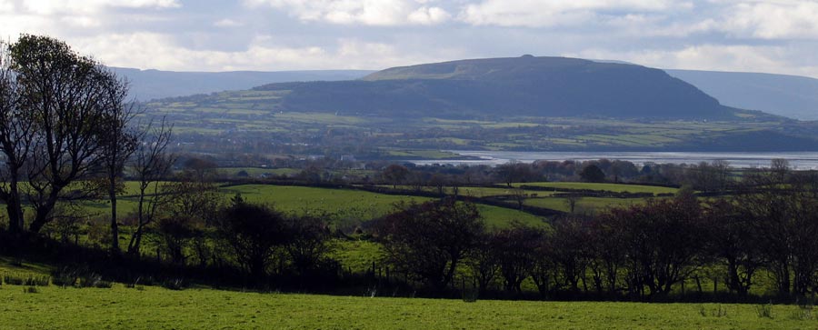
The peninsula is dominated by the beautiful mountain of Knocknarea which rises to a height of
321 meters above sea level at the western end.
The east of Cuil Iorra has a low double hill called Carns Hill beyond which is Lough Gill, the Lake of Brightness. To the south is the chain of the Ox Mountains, a gniess, granite and quartz range said to
be among the oldest mountain ranges in Europe. To the north is the unique sculpted plateau of Benbulben and Kings Mountain,
while away beyond Donegal bay rise the sheer cliffs of Sliabh Liag, some of the
highest sea cliffs in Europe.
The short Sligo river, the Garavogue (small and rough), which flows from Lough
Gill and empties into Sligo bay, would have been important to the
ancient people. The oldest dates found around Sligo come from the Carrowmore megaliths. Swedish archaeologists led by Göran Burenhult recovered dates from 5,400 BC, taken from pieces of charcoal found close to the monuments. These days, the early dates are considered to be evidence of fires from the mesolithic, or hunter-gather era.
The mesolithic people arrived in Ireland at the end of the last ice age, sometime between 10,500 and 8,000 BC. They tended to be a mobile, semi-nomadic people who never lived in fixed villages. It is believed that they held natural features such as cliffs and boulder-fields to be sacred, and the early dates from Carrowmore would seem to indicate that this region held a special meaning to the mesolithic people.
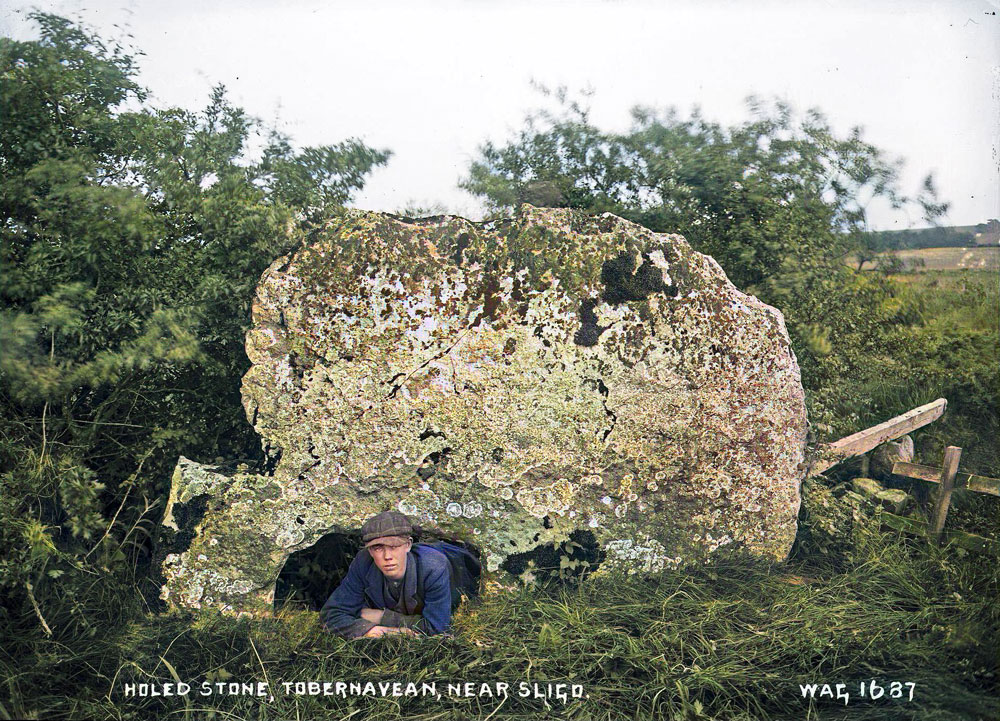
William Green's photograph of the Speckled Stone at Tobernaveen.
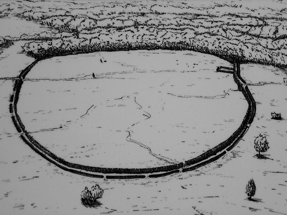
The Causewayed Enclosure at Magheraboy
The earliest dated monument in County Sligo is the causewayed enclosure discovered during roadworks at Magheraboy in 2004. While some 75 of these monuments are known in Ireland and England, the example at Magheraboy is the oldest example currently known, dating to around 4,150 BC. Causewayed enclosures mark the arrival of farming, and the example in Magheraboy tells us that the Cuil Iorra region is one of the earliest places colonised by farmers.
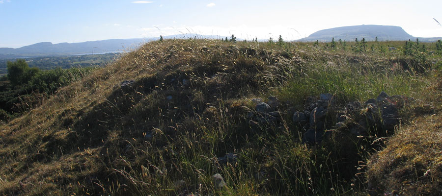
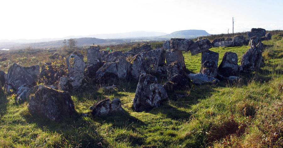
There are many neolithic sites on the Cuil Iorra peninsula—it was a hive
of activity during the stone age. At the center of the peninsula is the great
site of Carrowmore,
one of the largest collection of stone age monuments
in Western Europe. It is thought that originaly there were 40 monuments
at Carrowmore; the remains of 30 monuments can be seen today.
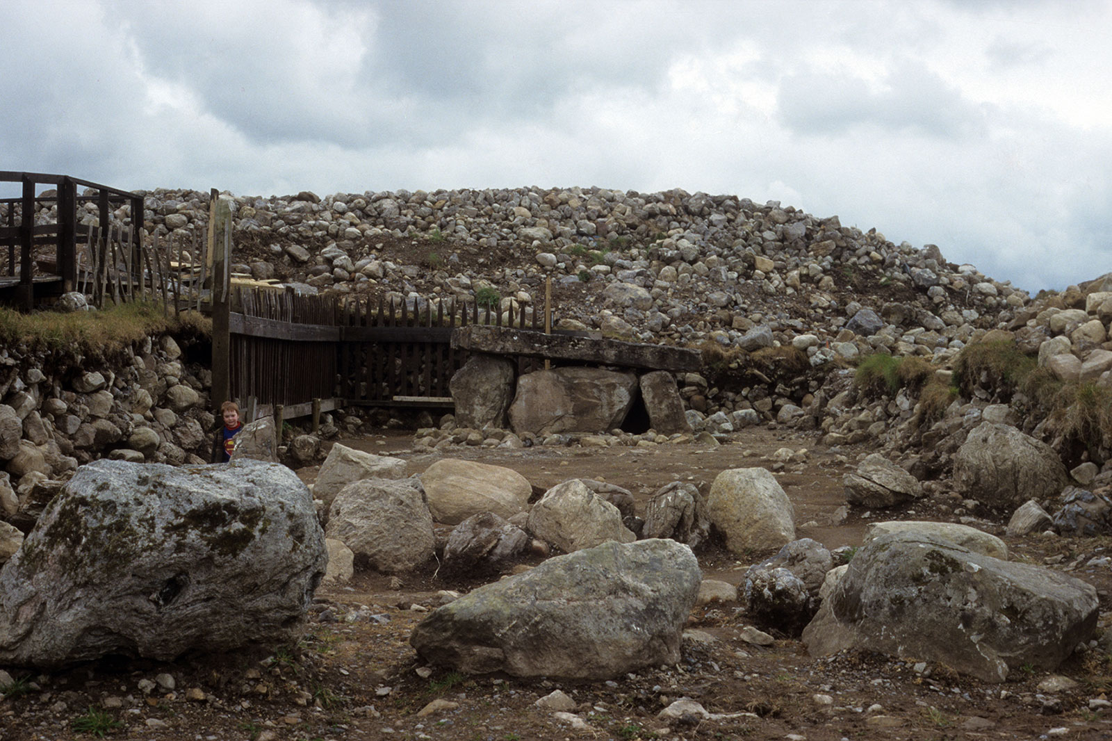
The Carrowmore circles are among of the oldest megalithic monuments known in Ireland. They date from the early neolithic, when colonists from Brittany arrived and introduced the practice of interring their dead in stone chambers. Many of the oldest chambers are much too small for a living person to enter, and contained large quantities of cremated human bone.
The oldest part of Carrowmore is the great platform or tertre located at the centre of the complex, believed to date to 4,100 BC. Carrowmore megaliths were built between 3,800 and 3,000 BC. The dates were taken from pieces of carved red deer antler which were discovered within the burial chambers, and are currently the oldest known examples of red deer found in Ireland.
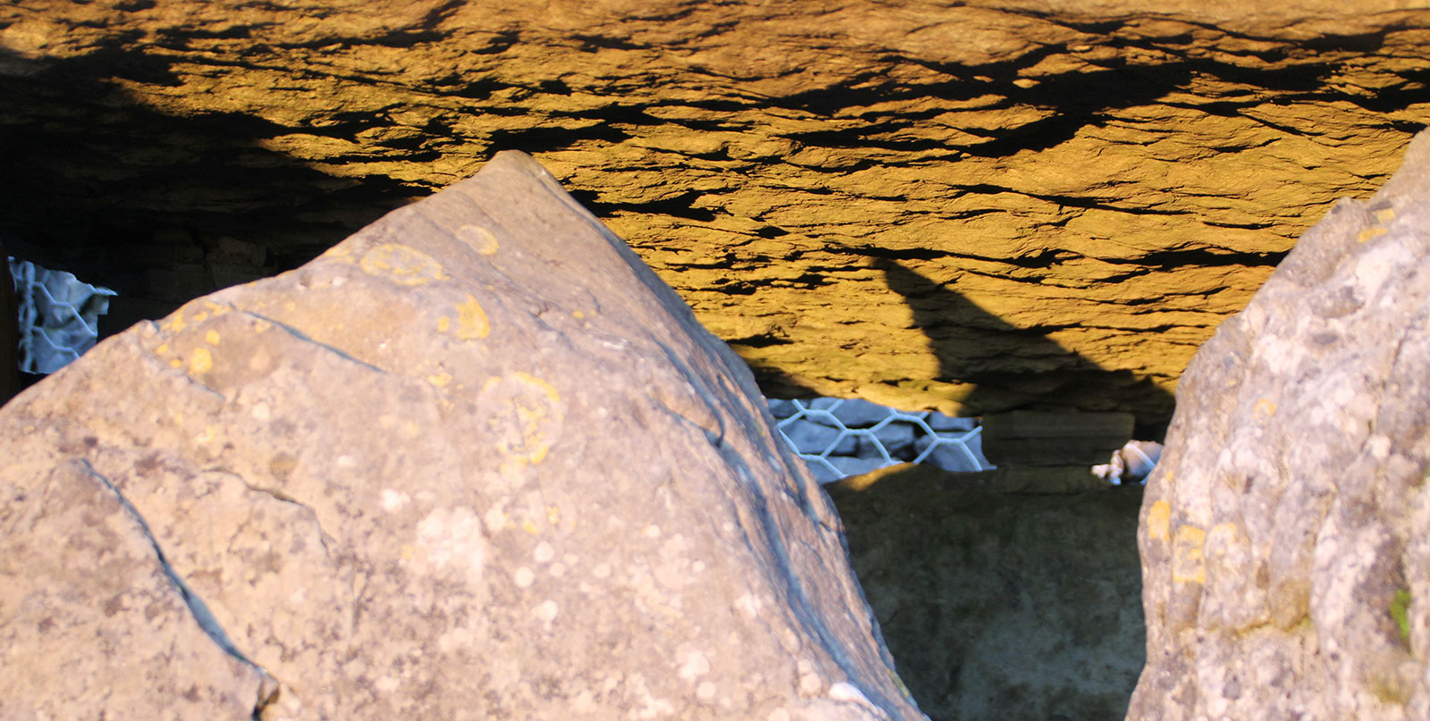
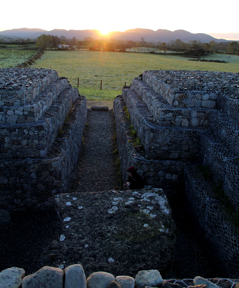
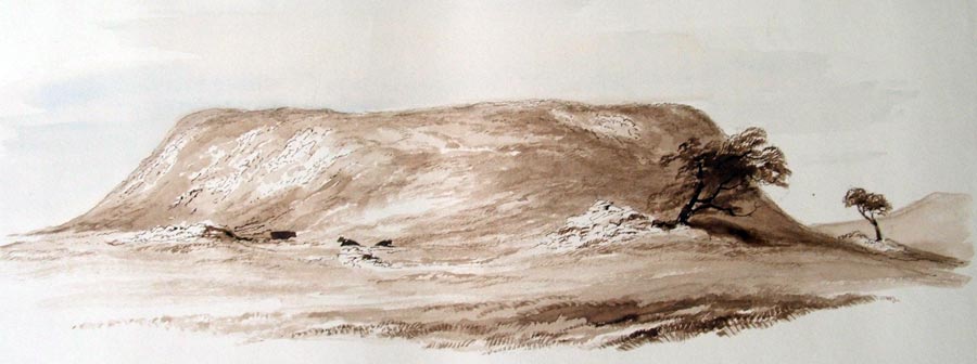
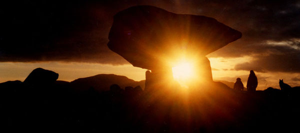
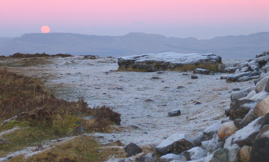
Samhain Alignment at Listoghil
The central monument, Listoghil, has an astronomical alignment, being oriented towards a gap in the Ballygawley mountains where the sun rises each year close to the November and February cross-quarter days. The beam of sunlight enters the chamber, illuminating the underneath of the huge capstone, which turns an amazing golden colour. A shadow, projected by the triangular blocking-stone, bisects this panel of light. An amazing phenomonon, which has been occuring since the chamber was constructed around 3,600 BC.
The Sligo river was also an important source of food during mesolithic and bronze-age times. Sligo gets its
name from Sligeach, the Shelly Place, and huge quantities of shellfish
were found all along the banks of the river. There are still large piles
of middens out along the shore at Culleenamore at the west end of the peninsula. Originally thought to have been Mesolithic or neolithic, it is now accepted that they date from the bronze age through to medieval times.
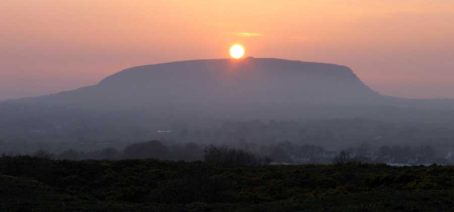
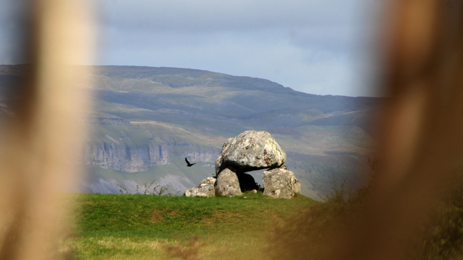
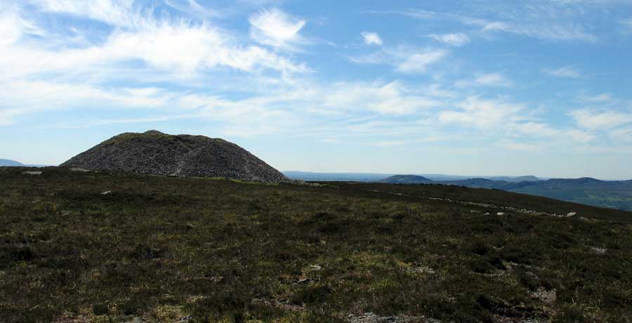
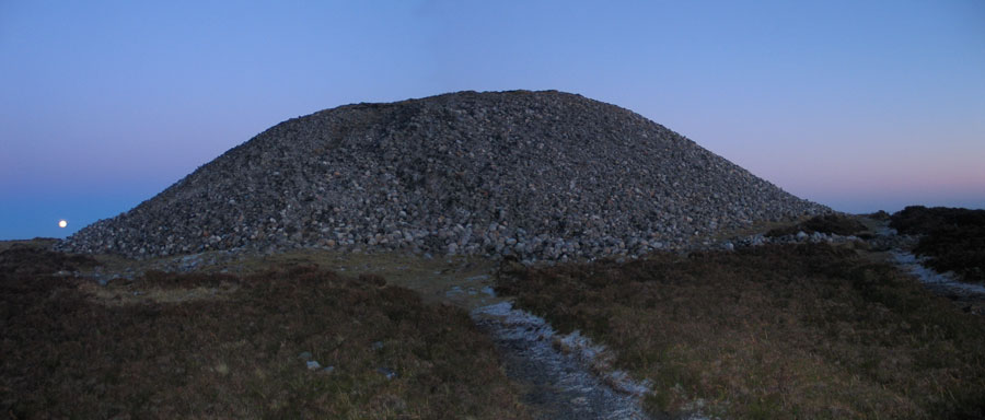
The river has the same name or title as the local version or incarnation of the Cailleach, and her name is Garavogue. She owns a magically abundant cow but is also the protector of the wild deer. She dwells in her house, the neotithic chambered cairn on the western peak of Ballygawley Mountain, Cailleach a Bheara's House.
The enchanted lake, Lough Da Ge is close-by to the east, and here, when she swims in the bottomless waters, she becomes a young woman again. To this lake she lures Fionn Mac Cumhail, and when he swims in the waters he is transformed into an old man. When viewed from Carrowmore at Samhain, the sun rises from the watery womb of the Cailleach before climbing into the sky. Perhaps it was this mountain and this symbolism that drew the neolithic farmers to settle in Cúil Iorra: they discovered the body of their deity in the landscape.
Local woodcarving mythologist Michael Quirke explains the mythology of the local goddesses.
The Garavogue is the elder of a trinity of goddesses in County Sligo. She is a witch, hag, or wise old woman who, in local folklore, is said to have built the cairns both here and in Loughcrew. In local mythology the Garavogue lived in the cairn on Sliabh Dá Eán, and there are many stories about her and Mad King Sweeney, the Donegal chieftain who was cursed by a Christian cleric. If you ever happen to be passing through Sligo town, pay a visit to local woodcarver and mythologist Michael Quirke, who tells great versions of the local myths in his shop in Wine Street.
Sunrise at Samhain within the chamber of Listoghil, the focal monument at Carrowmore.
The remains of a fine ancient monument sit not far from the shore of the Garavogue
River at Abbeyquarter in Sligo - it is
the oldest building in the town. Another, long since destroyed, is said
to have stood on the site of St John's Cathedral in Sligo. Both may mark ancient fording points on the river.
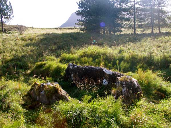
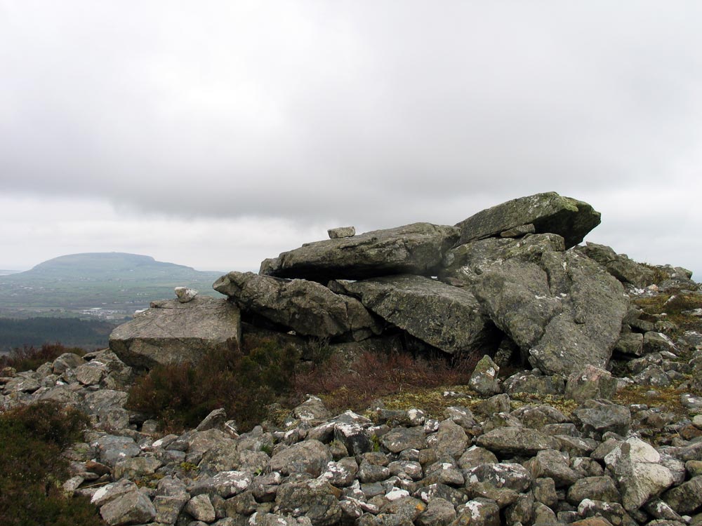
Little remains of the chamber of a court cairn. It is by the road near Strandhill airport. The north side of Knocknarea, which has 27 caves in the summit, can be seen behind the trees.
The peninsula of Cúil Iorra contains some fine farming land. In the 1830's and 40's many of the monuments were cleared and destroyed
in land improvement and quarrying schemes. Today the sites of some 40
dolmens and circles are known, with 27 remaining in reasonable condition.
The
monuments survived another bizarre attack some 20 years ago, when Sligo
County Council planned to use the quarried gravel pits in Carrowmore for
the local landfill dump. Some local residents took the case to the high court,
and finally succeeded in having this insane plan stopped.
Knocknarea on the Cuil Iorra peninsula viewed from Sliabh Dá Eán in the Ox Mountains.
There are many other monuments on the peninsula. There are two huge neolithic enclosures near Cuil Iorra: Lisnalurg henge is just north of the peninsula, and dates to the last years of the neolithic; the other is the recently discovered causewayed enclosure at Magheraboy close to Summerhill in Sligo. This monument was found during roadworks and has been dated to 4,100 BC using a piece of an oak plank.
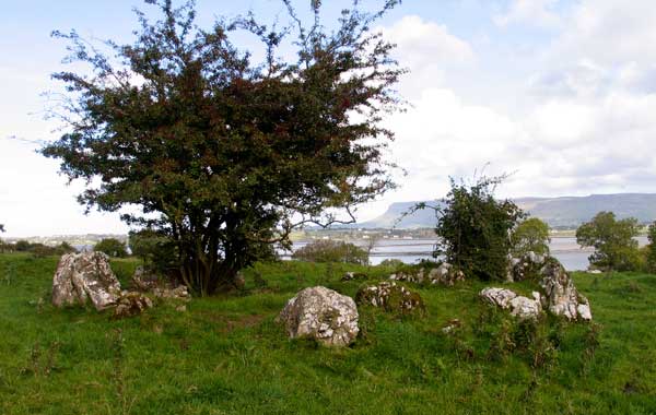
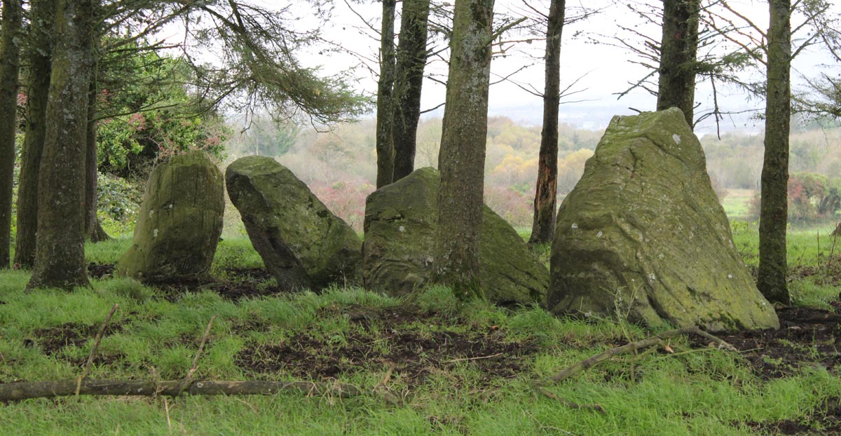
There are three court cairns: at Cummeen, Strandhill and a third at Primrosegrange to the south of Knocknarea. The court cairns were thought to be the oldest type of megalithic monument, temples of our first cattle-herding farmers. The example at Cumeen is particularly interesting, as it is contained within a large oval platform enclosure; some archaeologists are suspicious and think that this monument is a Victorian folly. Also in and around Carrowmore, and scattered across the peninsula, are many bronze age barrows, which may have been burial mounds.
The court cairn at Cumeen overlooking Sligo Bay has fine views to Benbulben to the north.
County Sligo has one of the heaviest concentrations of ringforts found anywhere in Ireland, and there are many of them on the peninsula, including some fine examples near Carrowmore. Ringforts generally date to the early Christian period, and were houses of farmers. In Irish folklore they are called fairy forts and there are many stories told about them: lights were seen in them, music (and tunes) was heard by people passing by at night.
A
dramatic sunset over Knocknarea viewed from the summit of the west cairn 8 days after the autumn equinox, 2012.