Doomore Cairn
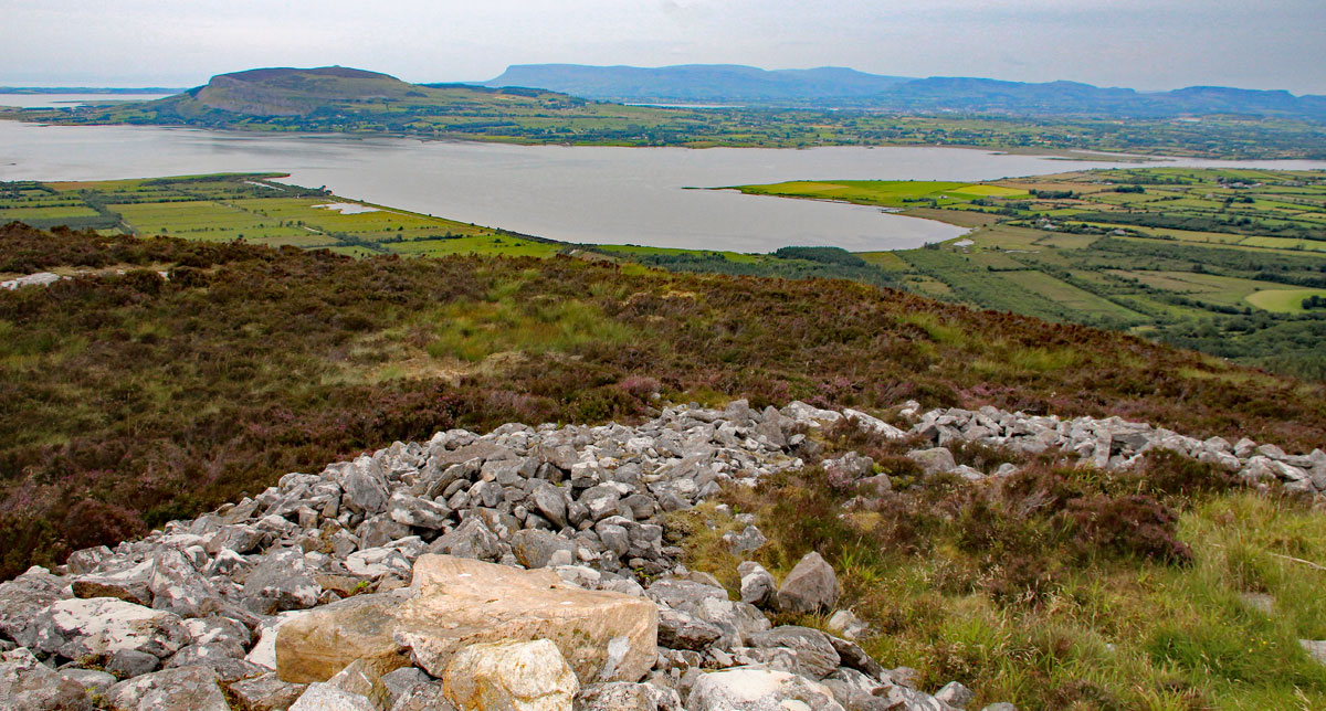
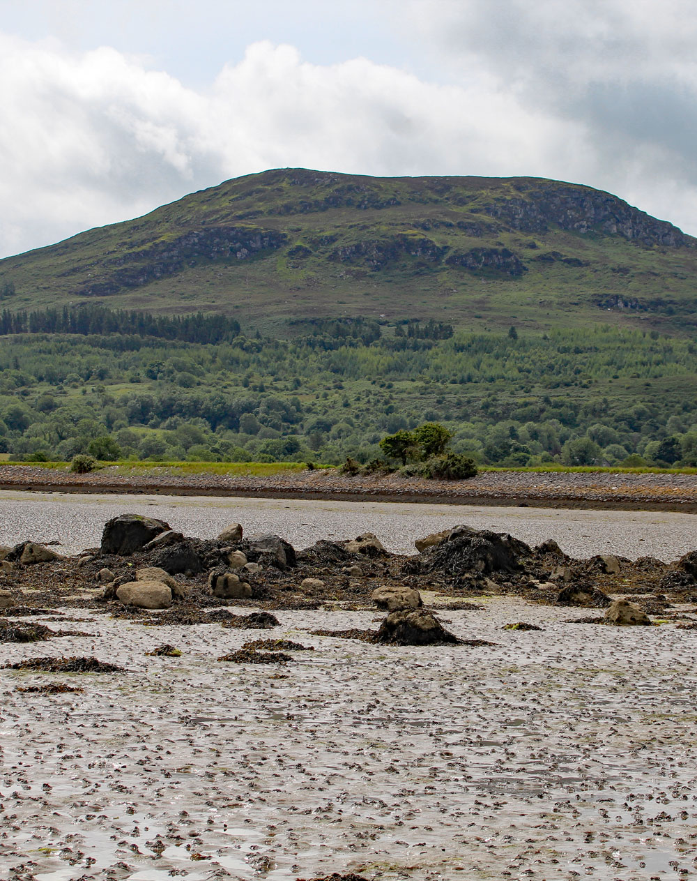
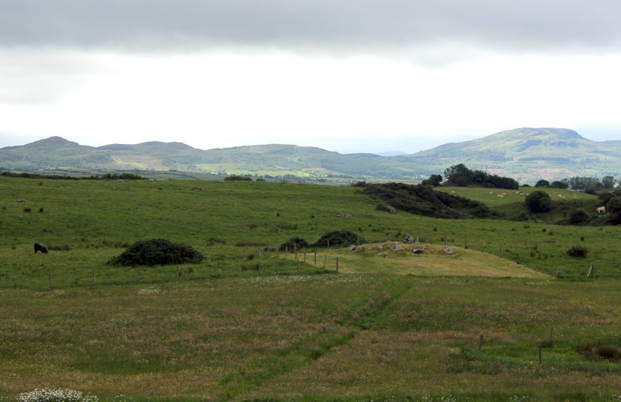
Doomore Cairn is situated in the Ox Mountains at an altitude of 272 meters above sea level overlooking Ballisodare Bay, Knocknarea and Benbulben. Aside from anything else, this monument is worth visiting for the magnificent panaromas it affords of the Sligo Mountains. Having said that, it's not an easy site easy to get to.
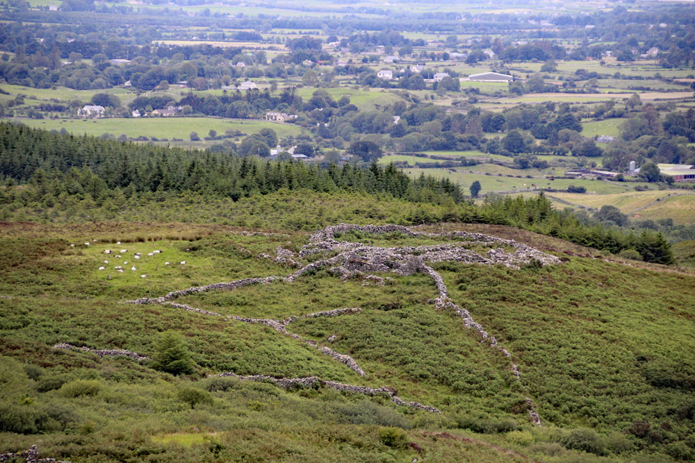
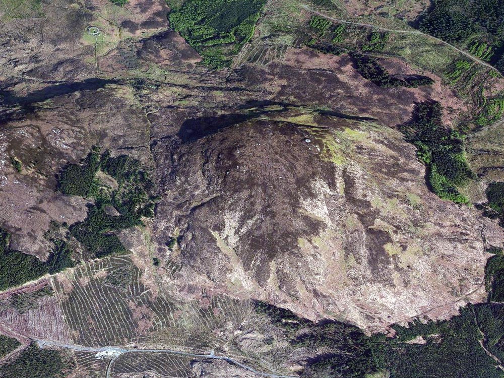
Parking at the picnic spot where the Coolaney road crosses the Ox Mountains from Beltra, you have to follow one of the paths west through the forestry plantations. There are many stone walls, enclosures, and cottages and other interesting things within the wood, which are reputed to be the remains of a village deserted since the famine times. Further to the west are the remains of a fine cashel with cottages attached, a fascinating mixture of different archaeological eras.
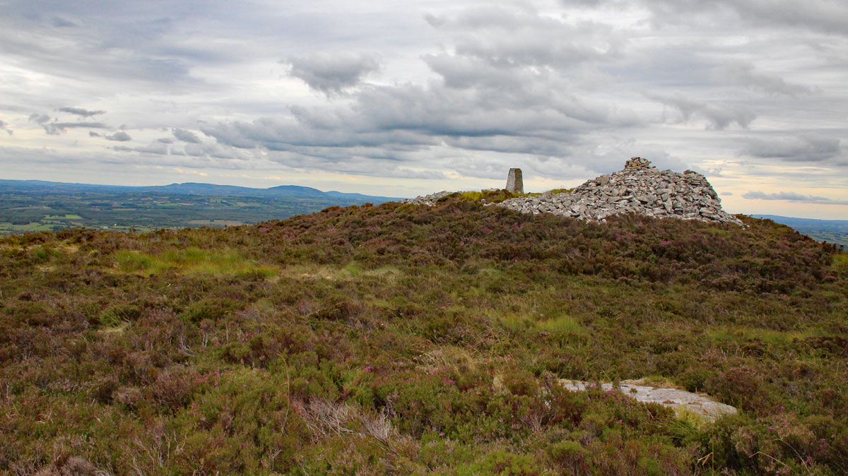
From the woods, its a steep climb through rough bog and bracken. The cairn is located on the east side of the summit, and is composed of locally quarried gneiss. There is plenty of white quartz in the Ox Mountains, and several chunks remain on the cairn. There is a concrete Ordinance Survey pillar on the cairn, and a large mounded pile of stones on the west side. Large boulders and slabs on the side facing Knocknarea may indicate the presence of a chamber. The cairn is about twentty-two meters in diameter.
This monument is a focal point for astronomical observations made from Carrowkeel. In the neolithic, an observer at Cairn G would see the summer solstice sun set over this cairn. Due to the obliquity of the elliptic, or the wobble in the earth's orbit, the sun has shifted west by 1.5 degrees or three solar diameters. The reverse also applies: an observer standing on Doomore cairn will see the winter solstice sun rise over the ridge of Carrowkeel. The site also functions as a territorial boundary marker, being visible from many miles around.
A medieval legend tells that a member of the local O'Hara family was killed by a savage beast, the Dobhercu, and that his body was buried within the cairn. Local mythological expert Michael Quirke believes that the Dobhercu was a giant otter, a water dog.
Towards the north end and highest point of relatively flat-topped Doomore Mountain. The site overlooks Ballysadare Bay and commands a magnificent outlook in all directions. This is a circular cairn (diameter 21 meters; Height c. 2 meters) the perimeter of which is under peat-grown heather. Towards the western edge of the flat top of the cairn there is a roughly constructed heap of stones, circular in plan (diameter 7 meters; Height 1.5 meters). The age and purpose of this feature is uncertain but it may be a 19th-century OS trigonometrical station. Just east of the centre of the cairn there is a 20th-century OS concrete-built trigonometrical pillar. At the north-northeast a line of four large stones extends towards the centre of the cairn from a point three meters inside the perimeter. These stones, which are substantially buried, are of uncertain status but could represent tomb structure, possibly a passage tomb.